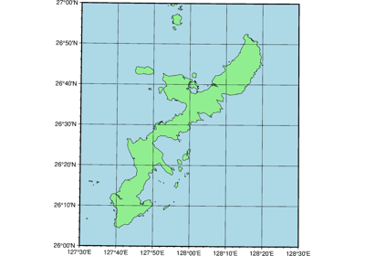
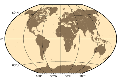
Projections
PyGMT support many map projections. Use the projection parameter to specify which
one you want to use in all plotting modules. The projection is specified by a one
letter code along with (sometimes optional) reference longitude and latitude and the
width of the map (for example, Alon0/lat0[/horizon]/width). The map
height is determined based on the region and projection.
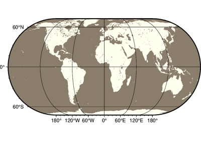
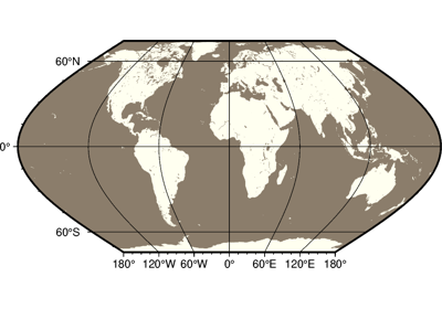
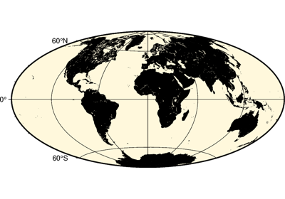
These are all the available projections:
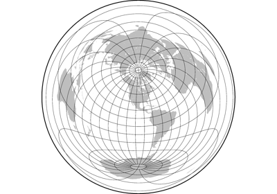
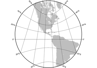
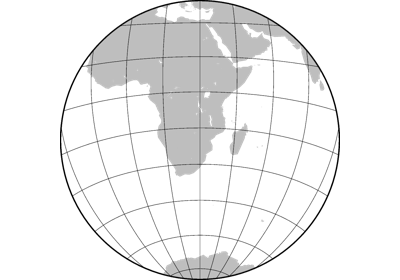
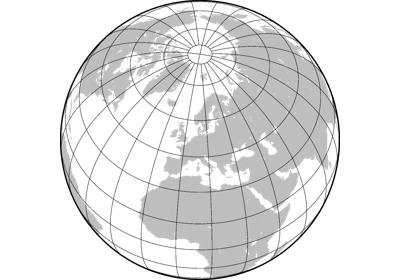
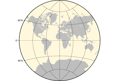
Azimuthal Projections
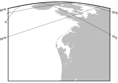
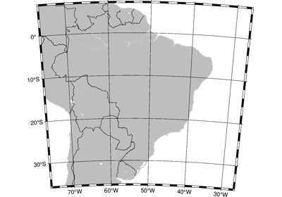
Conic Projections
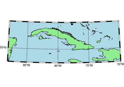
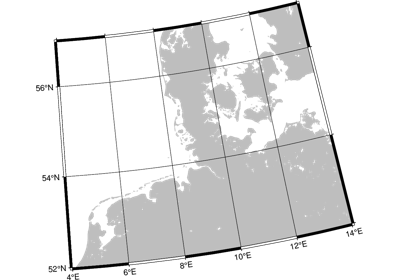
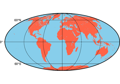
Cylindric Projections
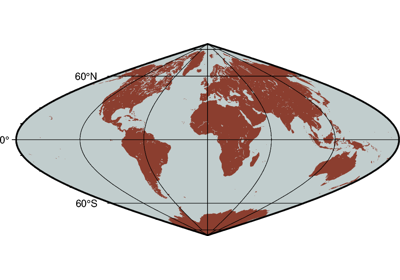
Miscellaneous Projections
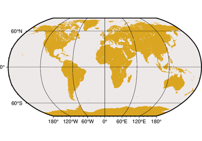
Non-geographic Projections
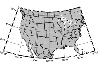
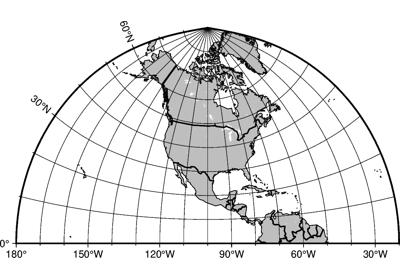
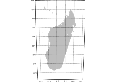
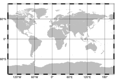
Projection Table
The below table shows the projection codes for the 31 GMT projections.
PyGMT Projection Argument |
Projection Name |
|---|---|
Alon0/lat0[/horizon]/width |
|
Blon0/lat0/lat1/lat2/width |
|
Clon0/lat0/width |
|
Cyl_stere/[lon0[/lat0/]]width |
|
Dlon0/lat0/lat1/lat2/width |
|
Elon0/lat0[/horizon]/width |
|
Flon0/lat0[/horizon]/width |
|
Glon0/lat0[/horizon]/width |
|
Glon0/lat0/alt/azim/tilt/twist/W/H/width |
|
H[lon0/]width |
|
I[lon0/]width |
|
J[lon0/]width |
|
Kf[lon0/]width |
|
Ks[lon0/]width |
|
Llon0/lat0/lat1/lat2/width |
|
M[lon0[/lat0]/]width |
|
N[lon0/]width |
|
Oalon0/lat0/azim/width[+v] |
|
Oblon0/lat0/lon1/lat1/width[+v] |
|
Oclon0/lat0/lonp/latp/width[+v] |
|
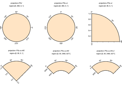
Pwidth[+a][+f[e|p|radius]][+roffset][+torigin][+z[p|radius]] |
Polar [azimuthal] (\(\theta, r\)) (or cylindrical) |
Poly[lon0[/lat0]/]width |
|
Q[lon0[/lat0/]]width |
|
R[lon0/]width |
|
Slon0/lat0[/horizon]/width |
|
T[lon0[/lat0]/]width |
|
Uzone/width |
|
V[lon0/]width |
|
W[lon0/]width |
|
Xwidth[l|pexp|T|t][/height[l|pexp|T|t]][d] |
Linear, logarithmic, power, and time |
Ylon0/lat0/width |